Mapping Initiative. On September 15, 2018, the largest crowd-sourced data collection event in Pennsylvania’s history will take place in Sharon.
We will collect field data on approximately 6500 properties. In three hours, 200 volunteers with mobile devices can capture enough information to give us an accurate picture of our historical properties and the situations impeding Sharon’s future.
Find out more by attending one of our information/training dates at the Sharon City Building – Council Chambers: Sign up here.
- September 4 @ 9:00 am
- September 10 @ 6:30 pm
- September 13 @ 6:30 pm
- September 15 @ all day (9:00 am – 6:00 pm)
At no cost, a short mobile app questionnaire has been authored by Sharon volunteers and administrators; Mercer County planning and GIS staff; and the PA State Historical Preservation Office (SHPO).
When the initiative is finished, SHPO will have historical home information, Mercer County will have 911 address verification, and Sharon will have property condition data. This is a first-of-its-kind joint effort. Sign up here.
The Sharon Neighborhood Revitalization Committee wants to know actual neighborhood conditions so that we can evaluate situations and suggest possible options to city administration. Take a look at our Conditions Guidelines and Help handout.
Each volunteer will tackle thirty properties. One picture and a short (5 – 8 min.) questionnaire will be required for each property . For those with data plan limitations, thirty properties will require less than 300 megabytes. Also, some devices battery-drain quickly when exchanging data while disconnected from wi-fi. A vehicle or power-pack charging device is recommended.
In addition to field surveyors, we need problem solvers and analysts to evaluate the data. Sign up here.
Using field surveys (eyes on properties) isn’t a new concept, but technology has improved significantly in recent years allowing the crowd sourcing of this collection. Cities like Detroit, MI (some crowd sourcing) and Youngstown, OH (some crowd sourcing) have taken advantage of this.
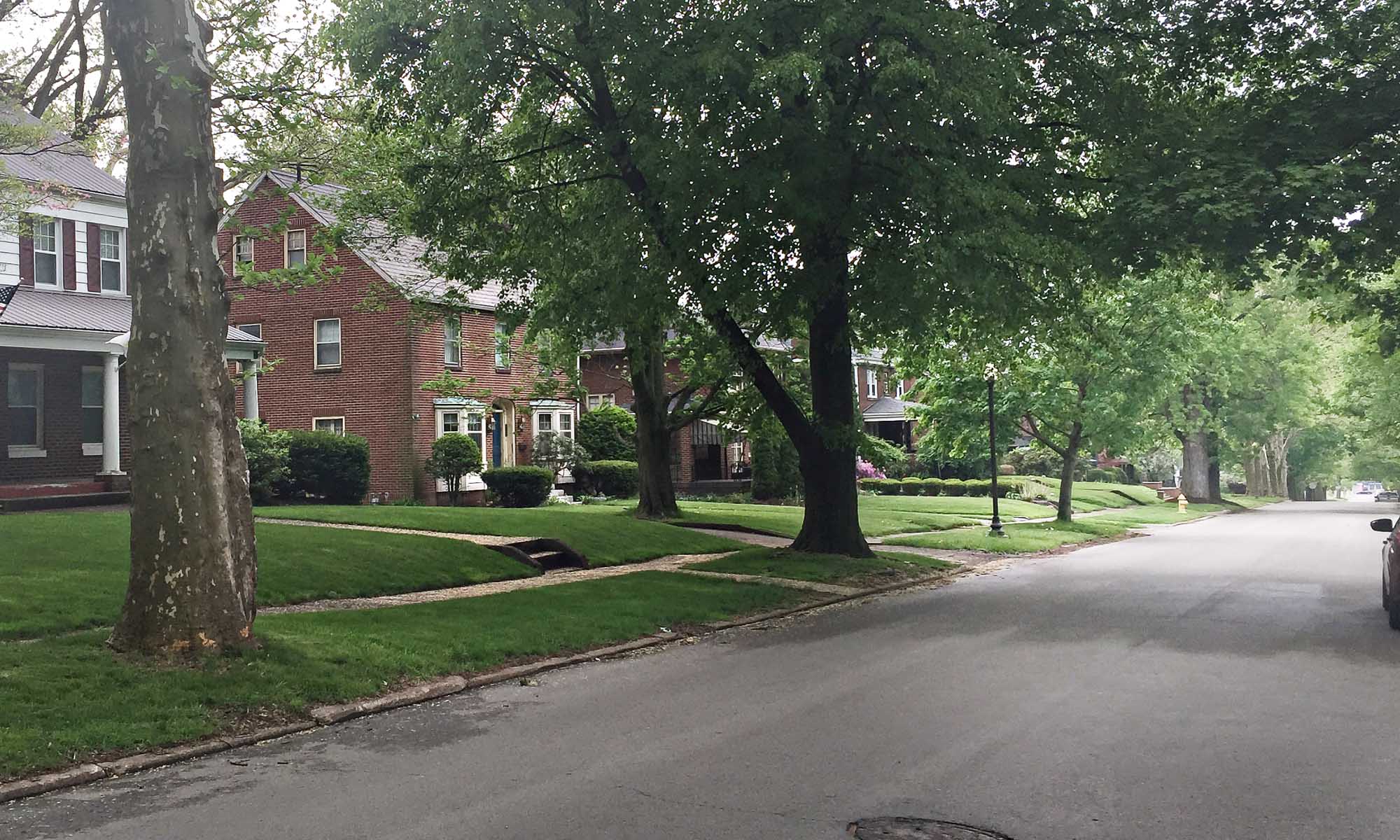
We want to understand the extent of Sharon’s derelict properties. There is no existing data that can tell us the condition of our structures. Even when combined with the best aerial views, the only way to accurately assess a property is to pay it a visit.
What is GIS? A Geographic Information Systems (GIS) presents data visually. Think of it as Google Maps with property boundries; each containing a bucket of information. Mercer County’s Tax Parcel Viewer is a great example. One can find information about where the tax bill is sent simply by clicking a property.
The results of the Sharon Mapping Initiative will be displayed on its own publicly viewable map. We built a test map as part of our early work on 911 address verification. Zoom in to view data.
The (all volunteer) Sharon Neighborhood Revitalization Committee will author a summary of the data as part of a Basic Conditions Study and then go on to write a neighborhood revitalization plan for the city. If you would like to help, Let us know.
By the way, we estimate that this public volunteer initiative will save Sharon nearly $100,000.